Mapping of tree size, flowers, fruit number, fruit size and fruit colour using aerial or ground-based platforms and artificial intelligence provide powerful orchard management tools.
On this page:
Integration and automation of spatial management operations
Precision orchard management adopts the approach that employs advanced technology and data analysis — known as Agriculture 4.0 — to maximize productivity, reduce waste, increase production efficiency and optimise resource use (i.e., labour, nutrients, water, crop protectants).
The combining of software and hardware for orchard scans of crop, fruit and canopy provide the backbone for distribution histogram analysis and precision zonal maps for variable rate management practices of crop load (fruit number per tree), tree size, yield and fruit quality (size, colour).
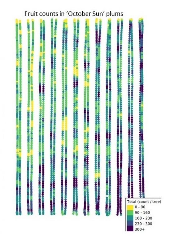
 Cartographer scan highlighting fruit number variability in a commercial plum orchard
Orchard scans conducted on commercial plum, peach and nectarine crops in major growing regions of Australia show high variability in fruit number. Tree size, and final fruit size and colour tend to be more uniform. Precision crop load management is essential for good fruit quality. Fruit quality (size, maturity, colour, shape) and return bloom are closely linked to crop load. On a tree-by-tree basis within an orchard block, the more uniform fruit number per tree (and tree size) the easier it is for crop load management intervention (e.g., blossom, fruitlet thinning) and associated gains in improved crop value (i.e., marketable yield).
Bringing AgTech to Summerfruit orchards
The new research project (SF23000 Precision Summerfruit Orchards) aims to align tree-specific spatial data to inform precision orchard management decision making and agronomic intervention strategies such as zonal tree pruning, flower and fruit thinning and has flow-on implications for pest and disease spraying, nutrient and water management, and harvest logistics. Here, improvements in uniformity of fruit number, fruit size and tree size provide for increases in yield and packout outcomes, offer large gains in production and labour efficiency (e.g., pruning, spraying, harvesting) and are aligned to new developments in mechanisation and robotics of orchard management.
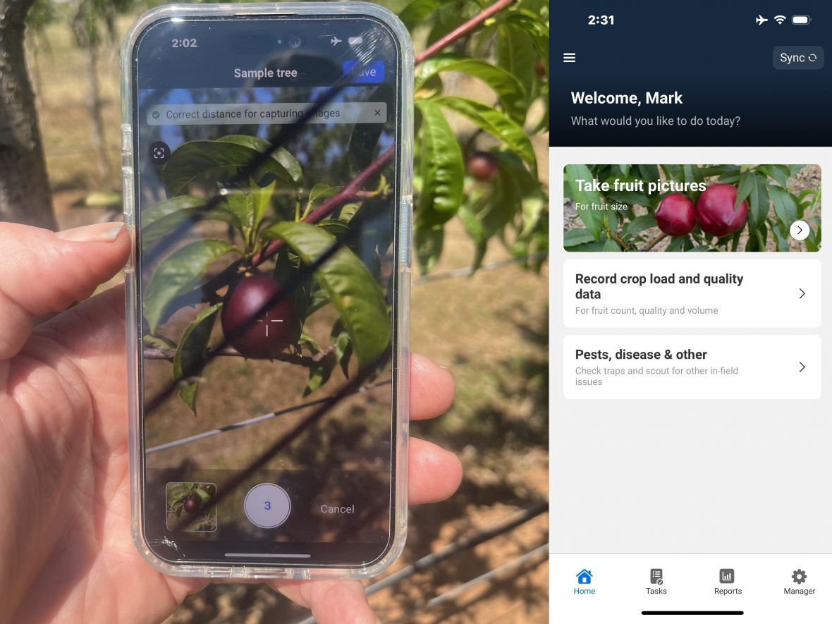
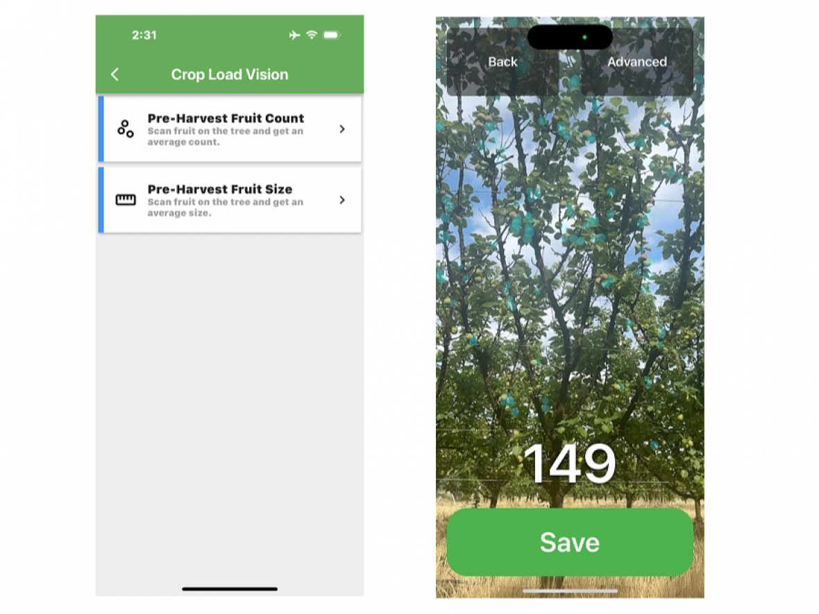
Precision orchard technology being evaluated by project SF23000 includes mobile ground-based (Green Atlas Cartographer), airborne (Outfield Technologies Orchard Management Platform - drone) and handheld (Aerobotics, Hectre, Croptracker, DataLogger smartphone apps, Bluetooth digital callipers) sensing systems. These tools and platforms offer a cost efficient and rapid approach to capture real-time tree-scale data on fruit and tree metrics. For example, leading apple growers in the Goulburn and Yarra Valleys have adopted orchard scans of crop, fruit and canopy to provide precision zonal maps to inform variable rate orchard management practices (e.g., pruning, thinning, leaf blowing, fertiliser).

Precision crop load management for Summerfruit orchards is now possible with new technologies. Optimal crop loads and favourable canopy light conditions provide the foundation for high marketable yields.
Image: Example of an orchard scan result highlighting consistency and variability within an orchard block.
Further information
Factsheet available as a PDF document
Grower article - Precision crop load management in Summerfruit
For more information, contact Dr Mark O'Connell from Agriculture Victoria:
Acknowledgements
The project Precision summerfruit orchards (SF23000) is a strategic levy investment under the Hort Innovation Summerfruit Fund.

Precision Summerfruit Orchards (SF23000) has been funded by Hort Innovation, using the Summerfruit research and development levy, contributions from the Australian Government and co-investment from Agriculture Victoria. Hort Innovation is the grower-owned, not-for-profit research and development corporation for Australian horticulture.


